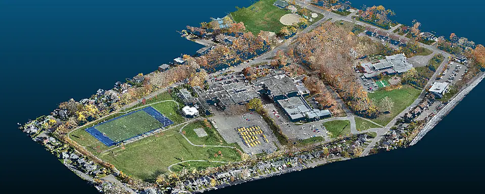
LiDAR Drone scan covers more significant areas than most 3D scan solutions. But it isn’t the only benefit you can get out of it. The drone is required to be connected to a GPS system to locate itself while flying. For this reason, the data extracted from the survey will be georeferenced and available for future use.
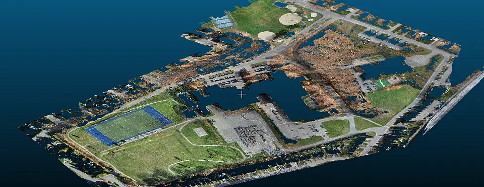
LiDAR scan allows reaching the ground even through dense vegetation. This way, we can get accurate elevations of the terrain. We’ll then be able to isolate the ground points for further use.
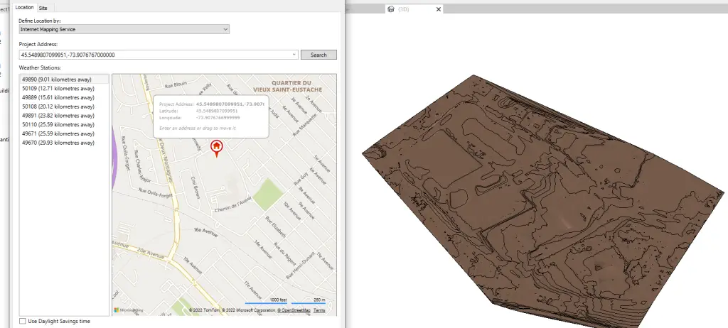
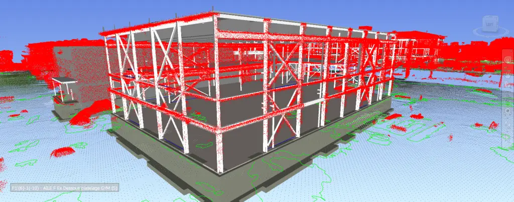
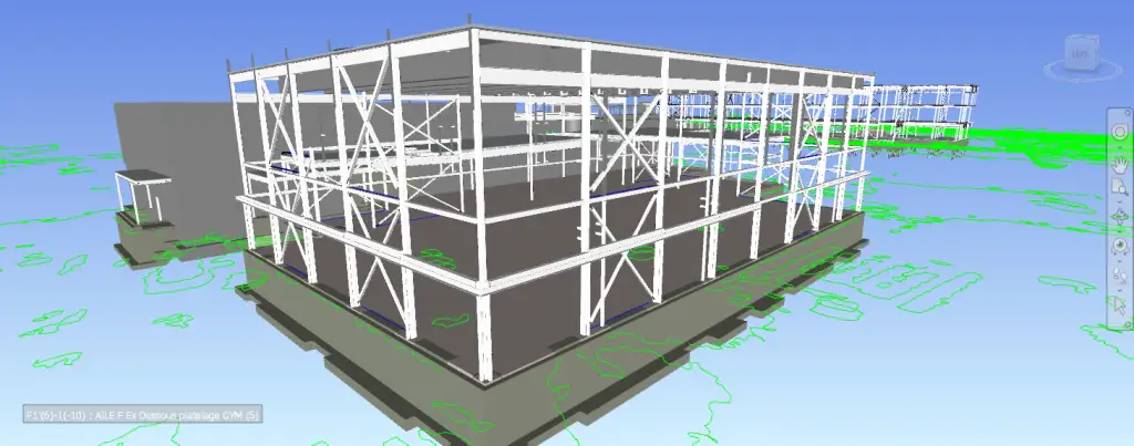
Using the right software to edit the point cloud will allow you to use the data and push it into authoring software like AutoCad and Revit to create a Georeference masterfile.
Creating a topography out of that data is another example of the benefits of drone surveying.
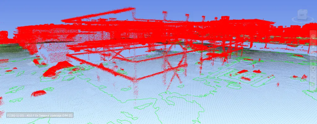
Once that Masterfile is created correctly, it will be a breeze to integrate your new construction into your site’s existing condition and monitor the construction progression with the actual 3D model.
Our staff includes certified drone pilots for advanced flight operations and technology specialists who will gladly answer all your questions regarding these services.